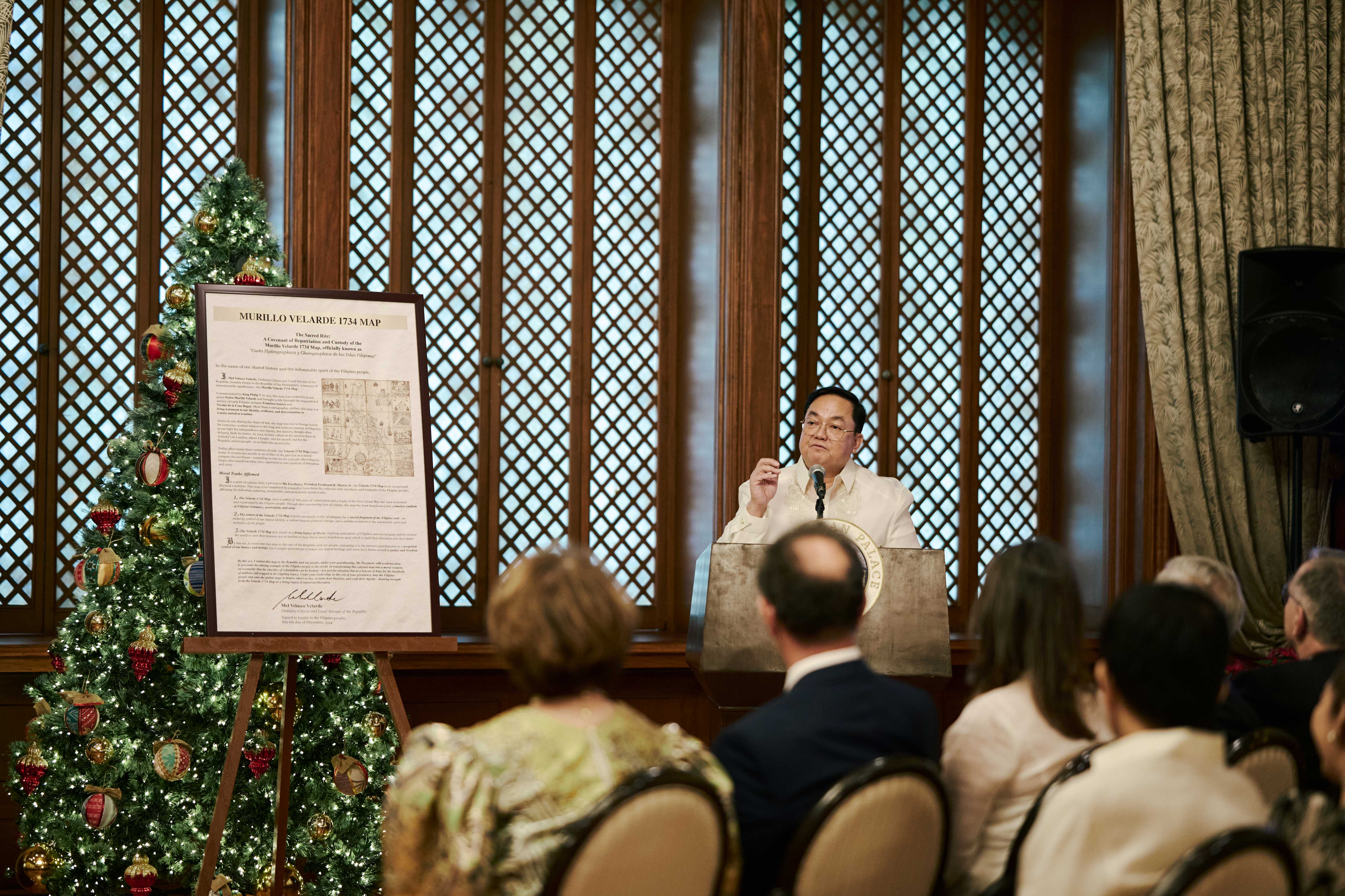
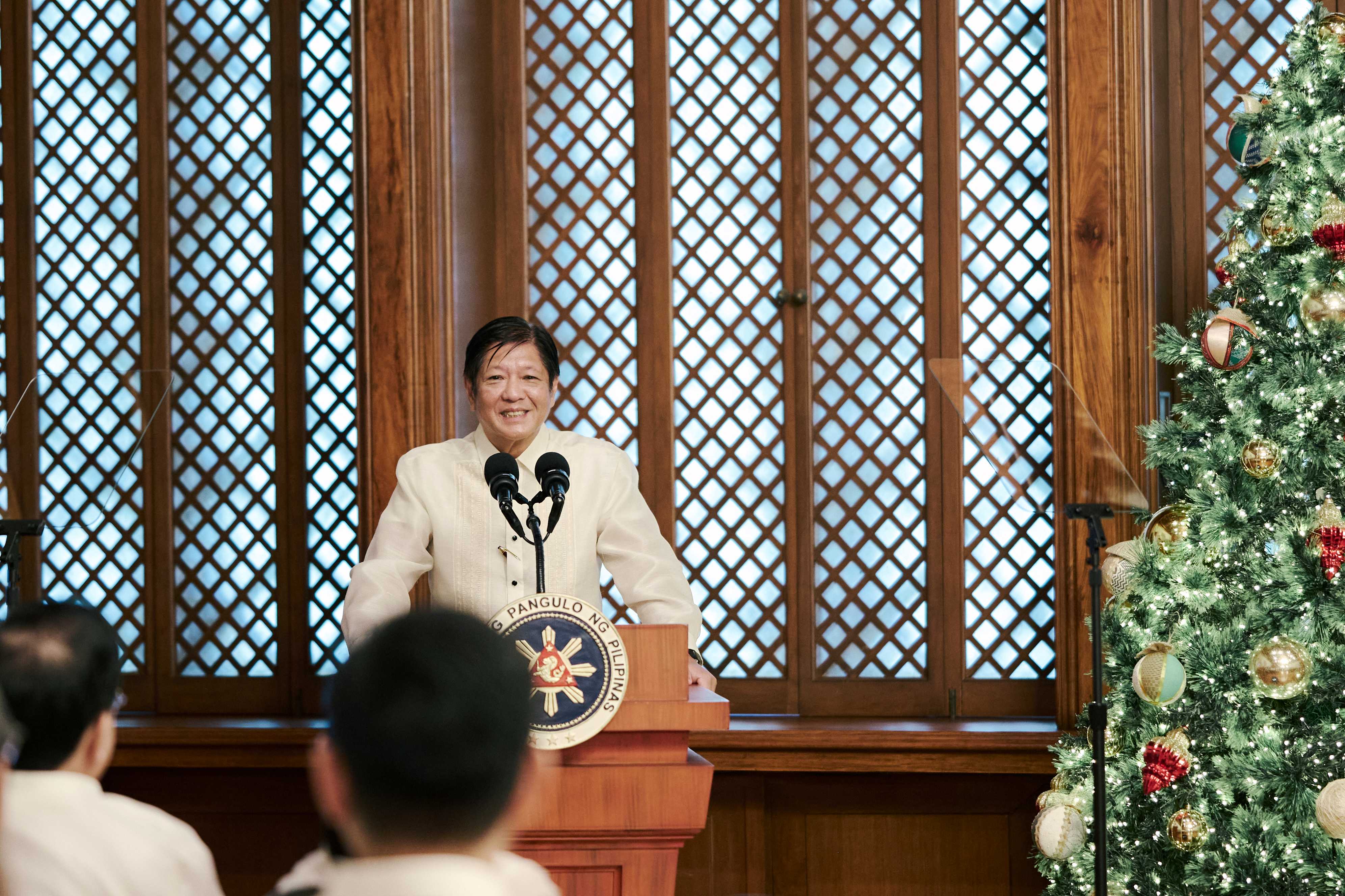
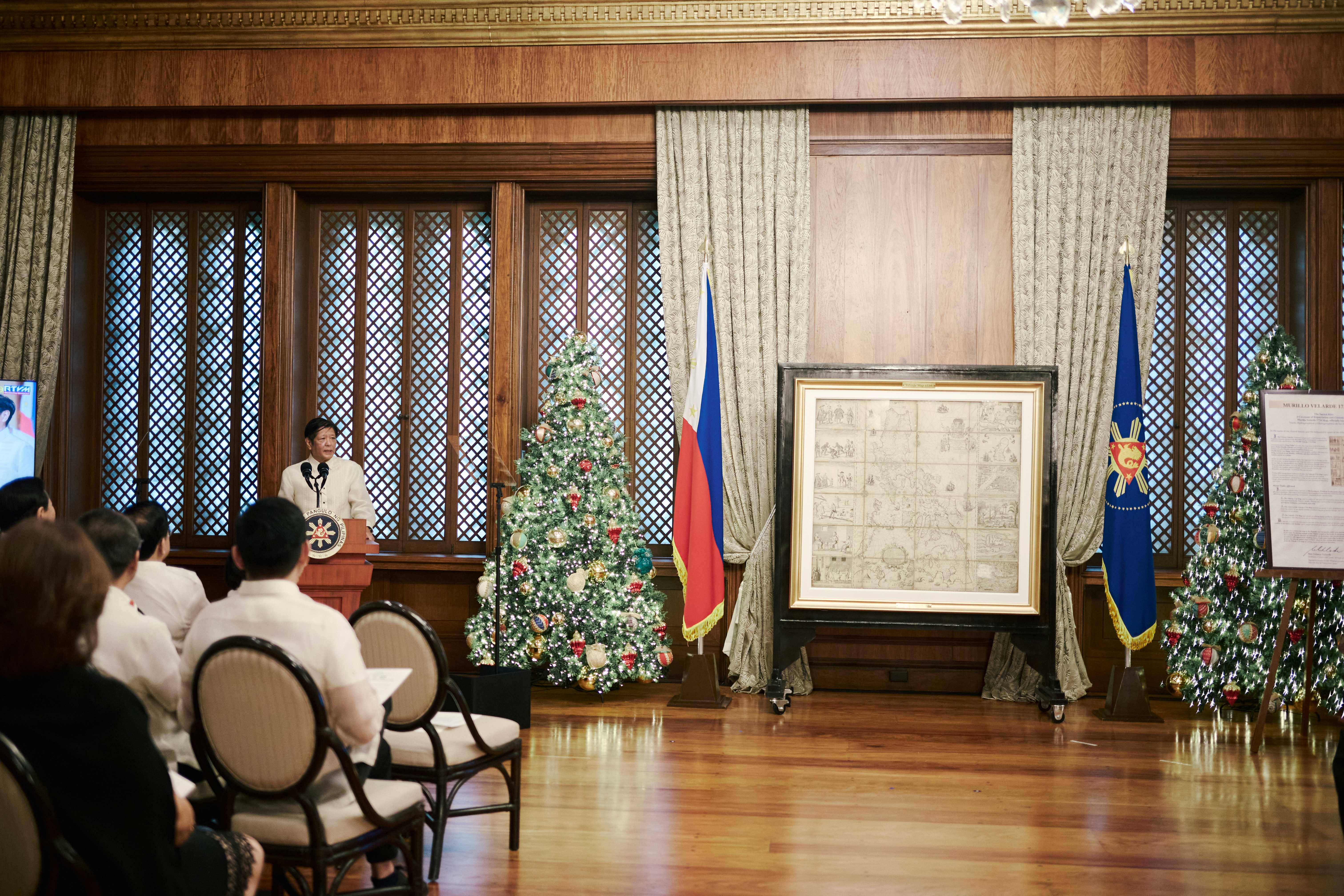
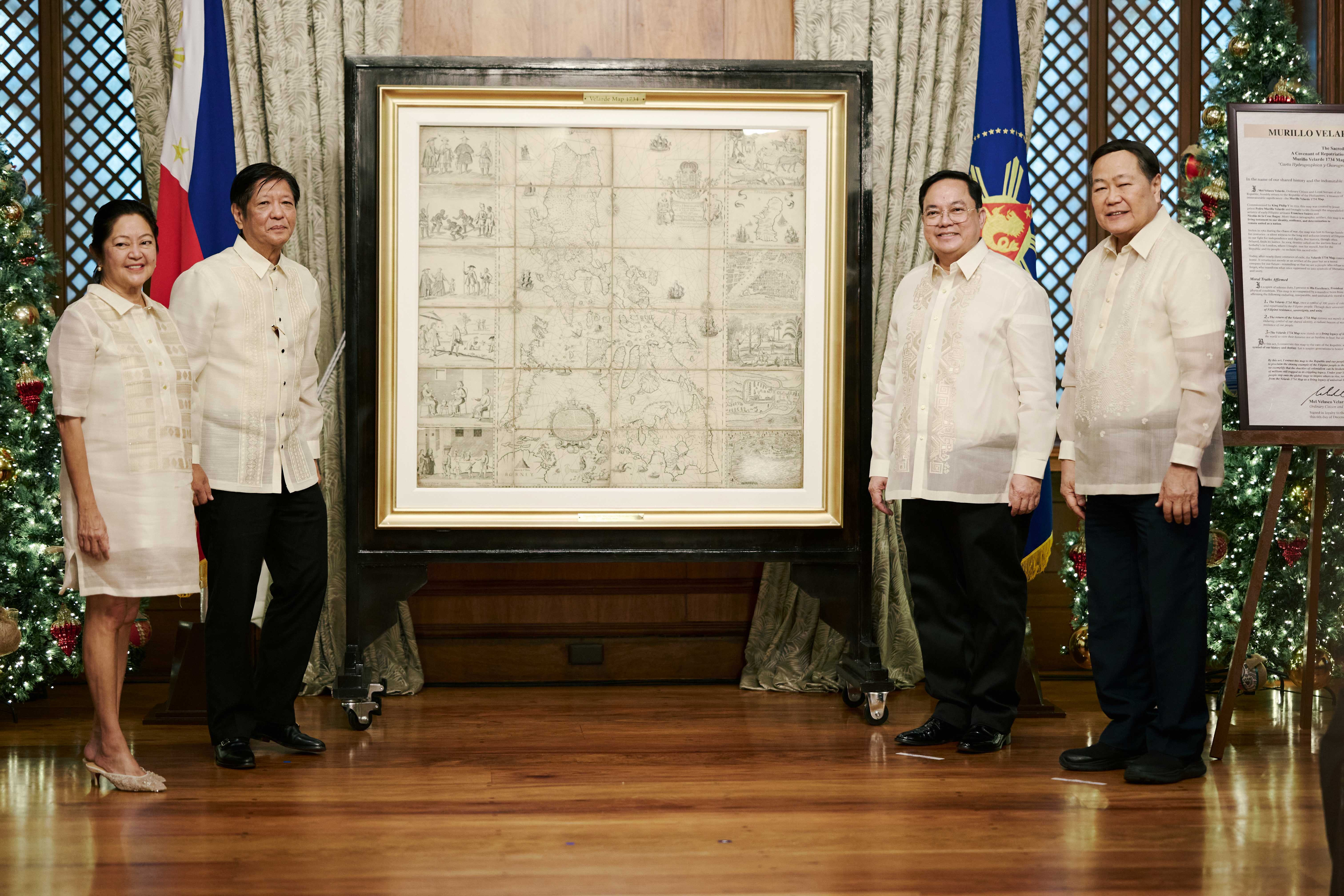
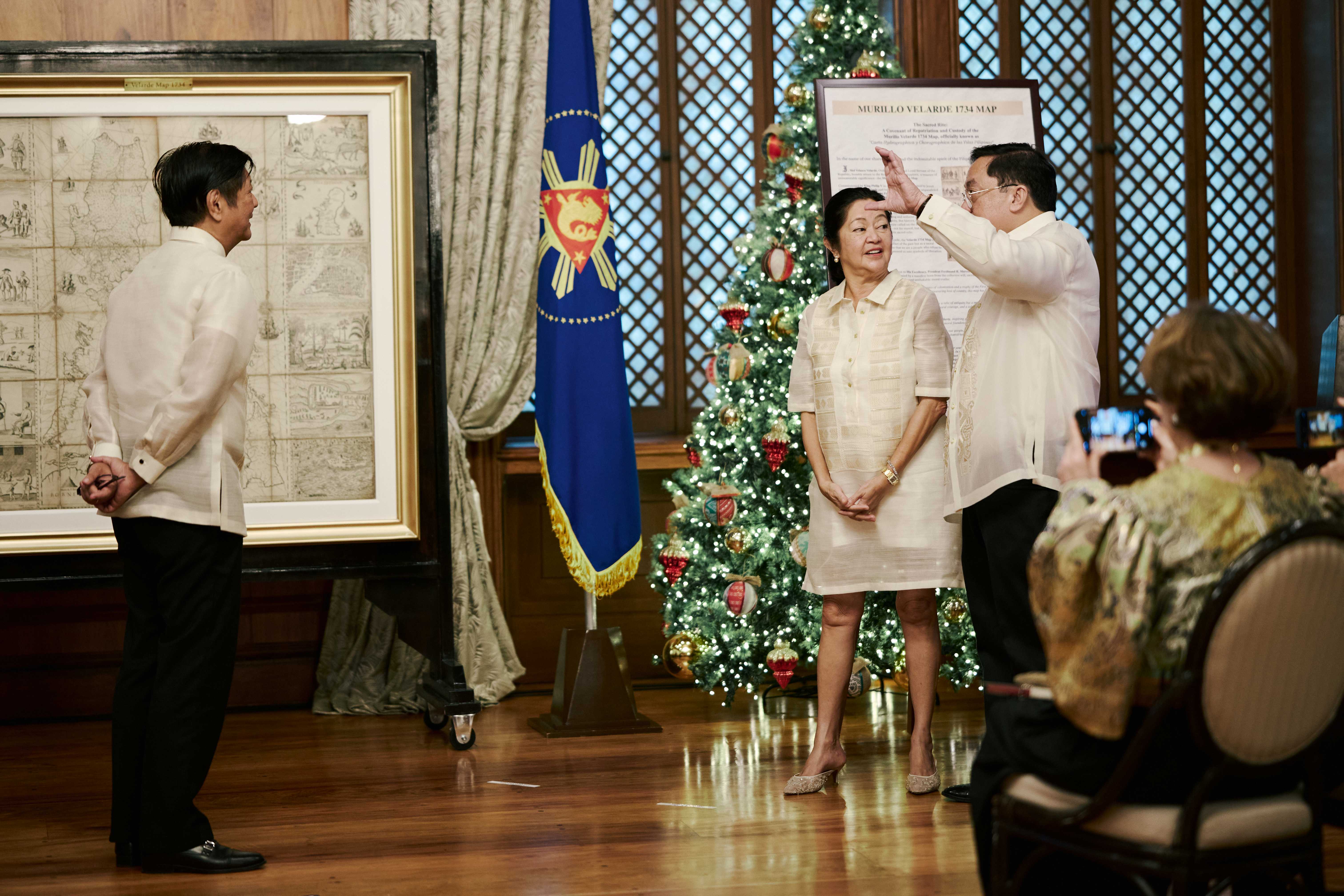
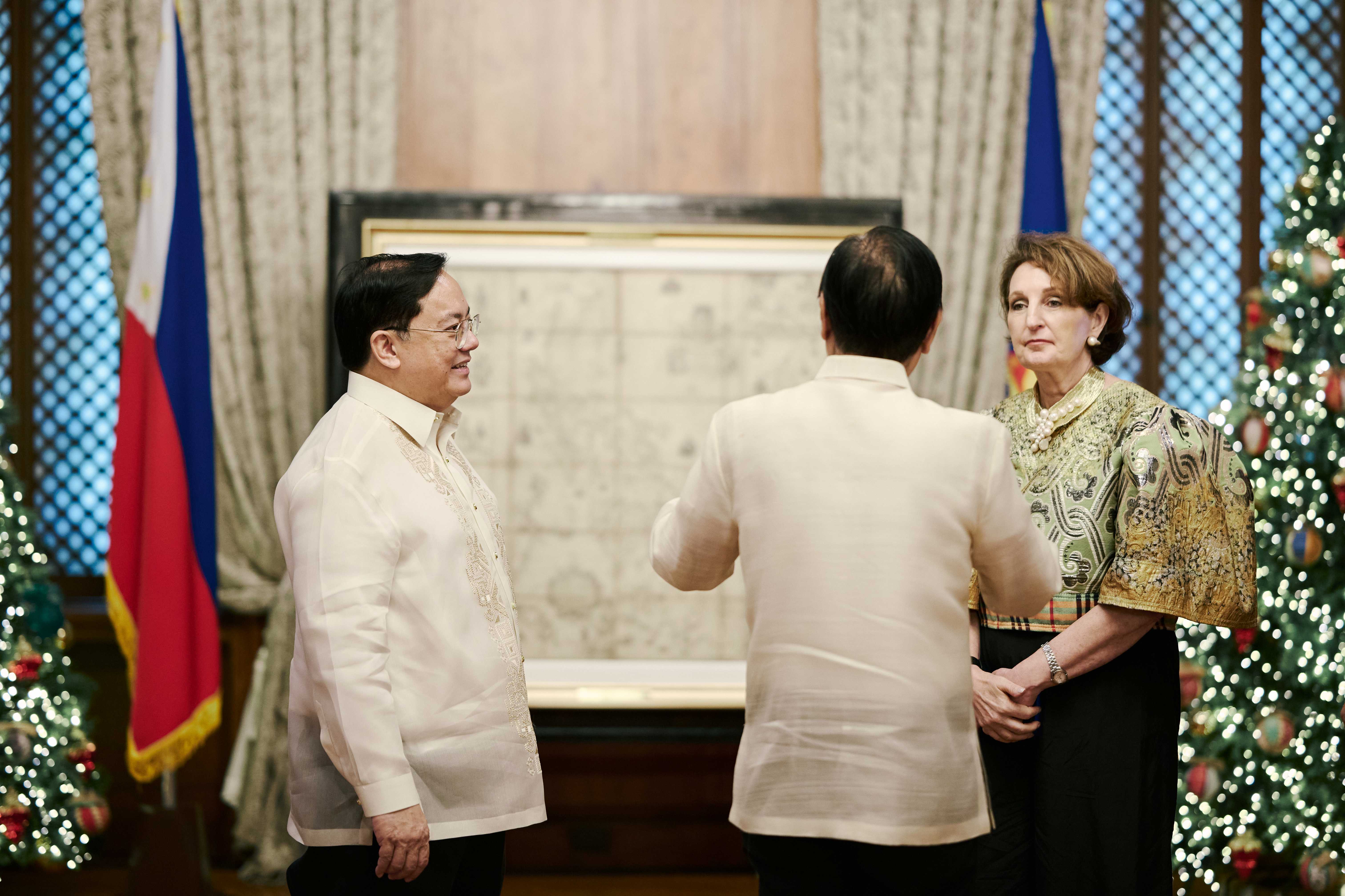
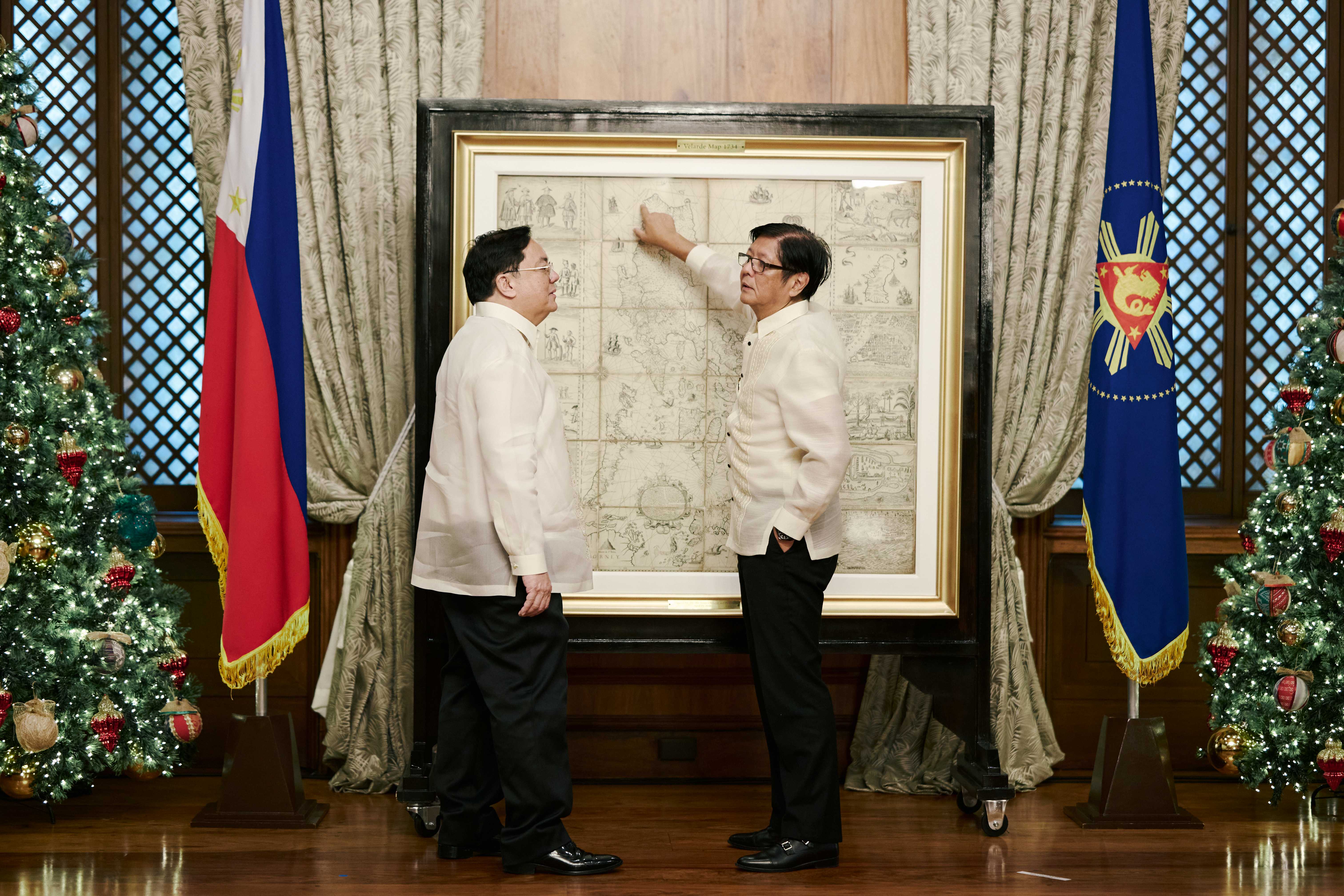
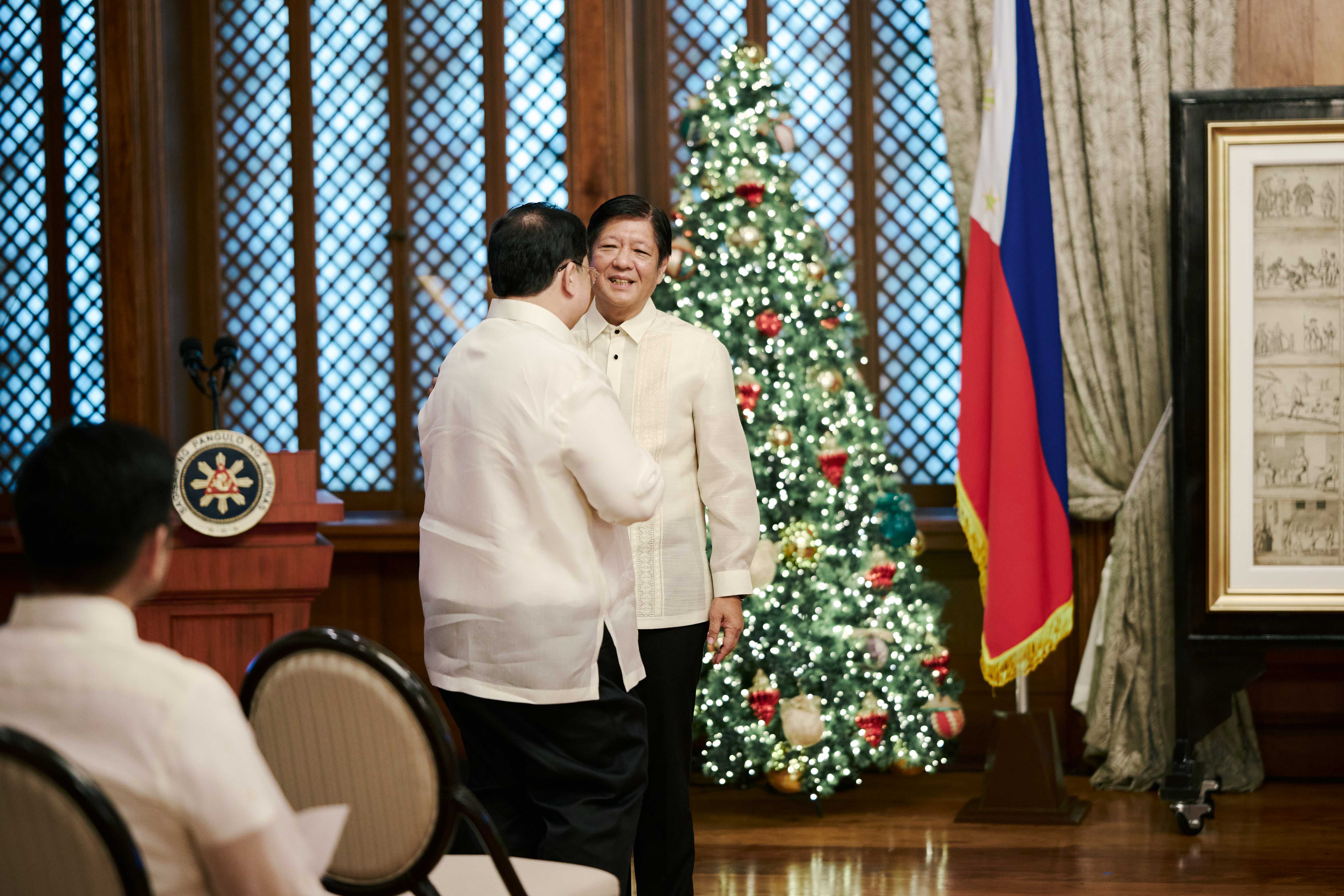
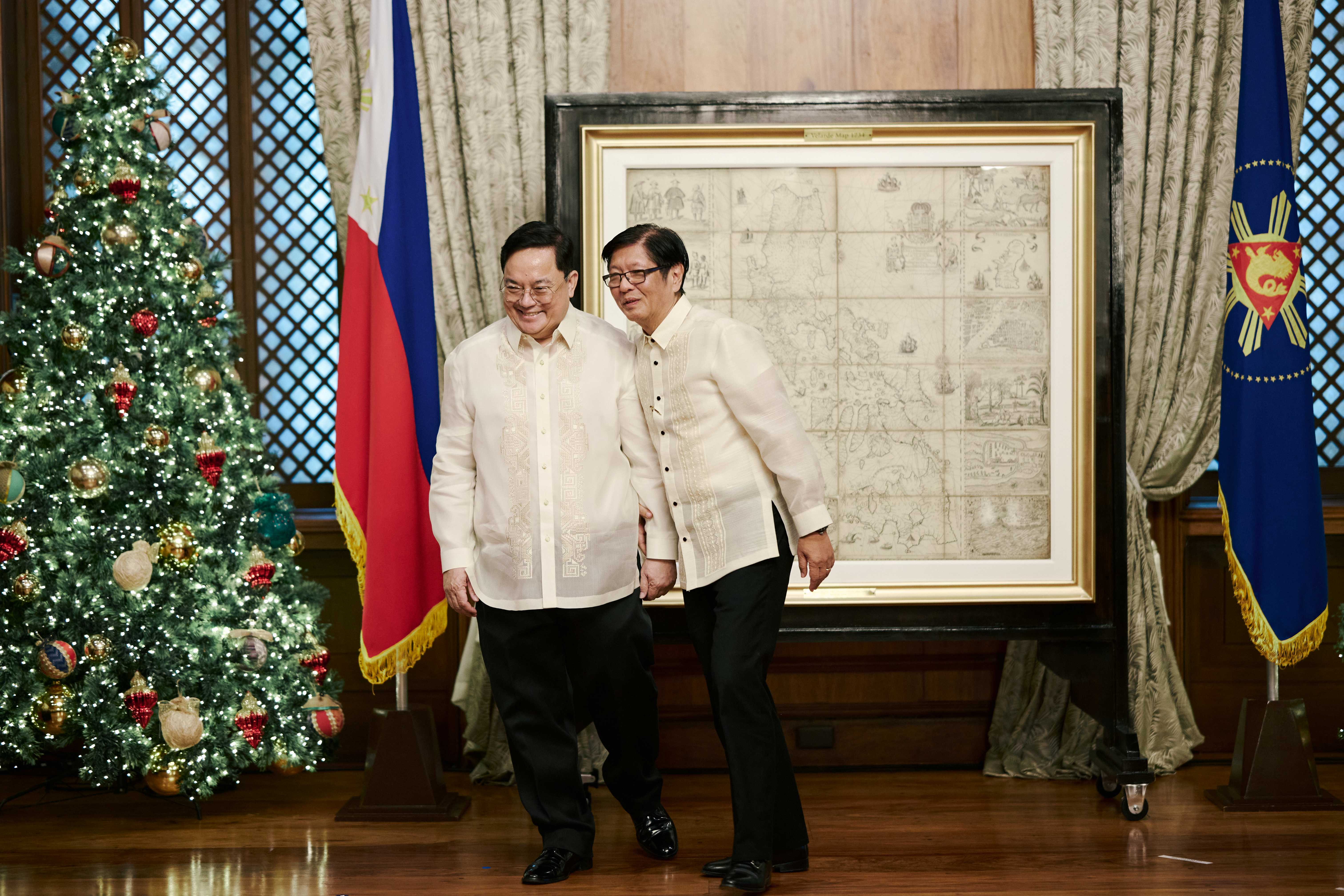
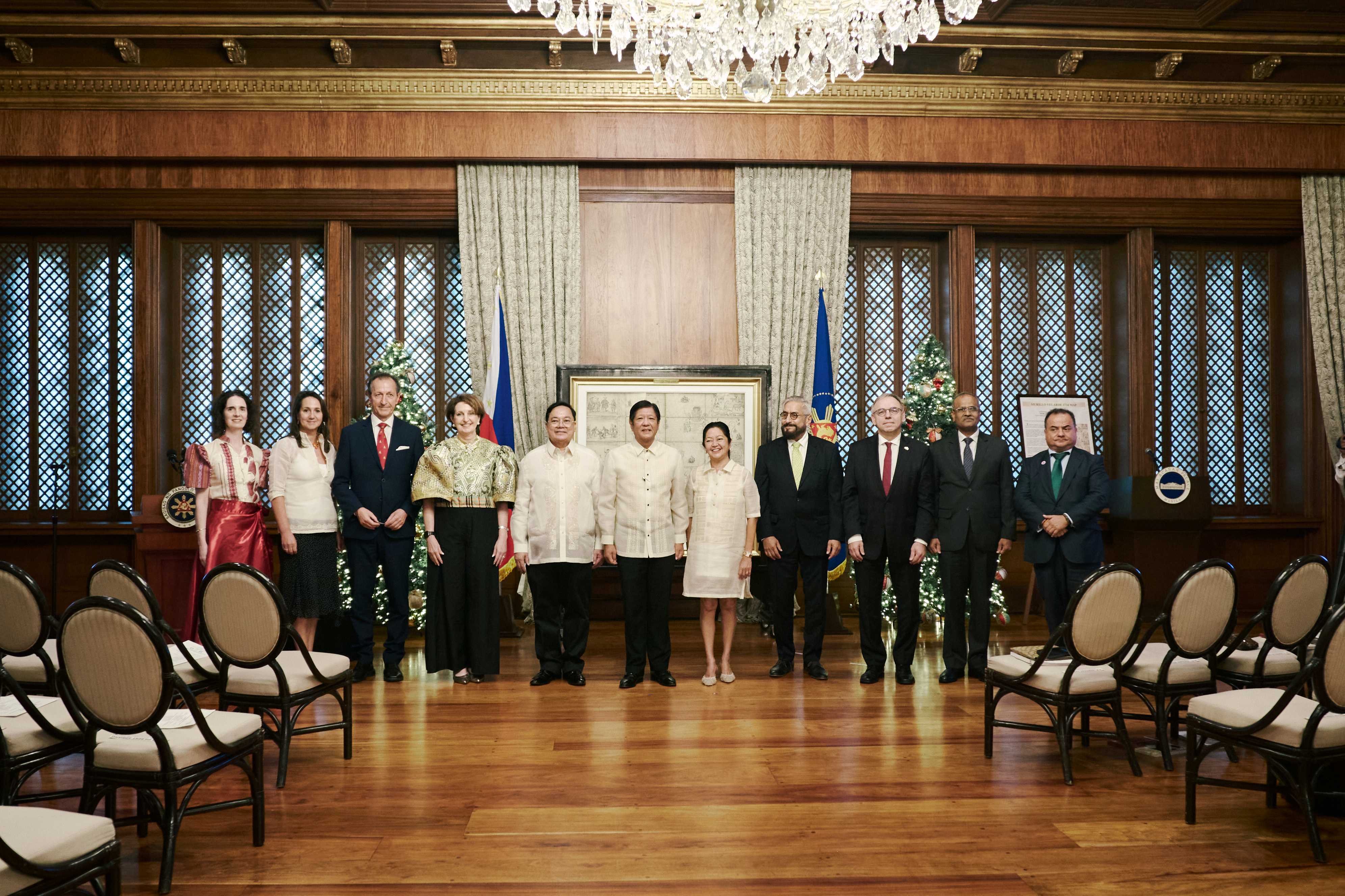
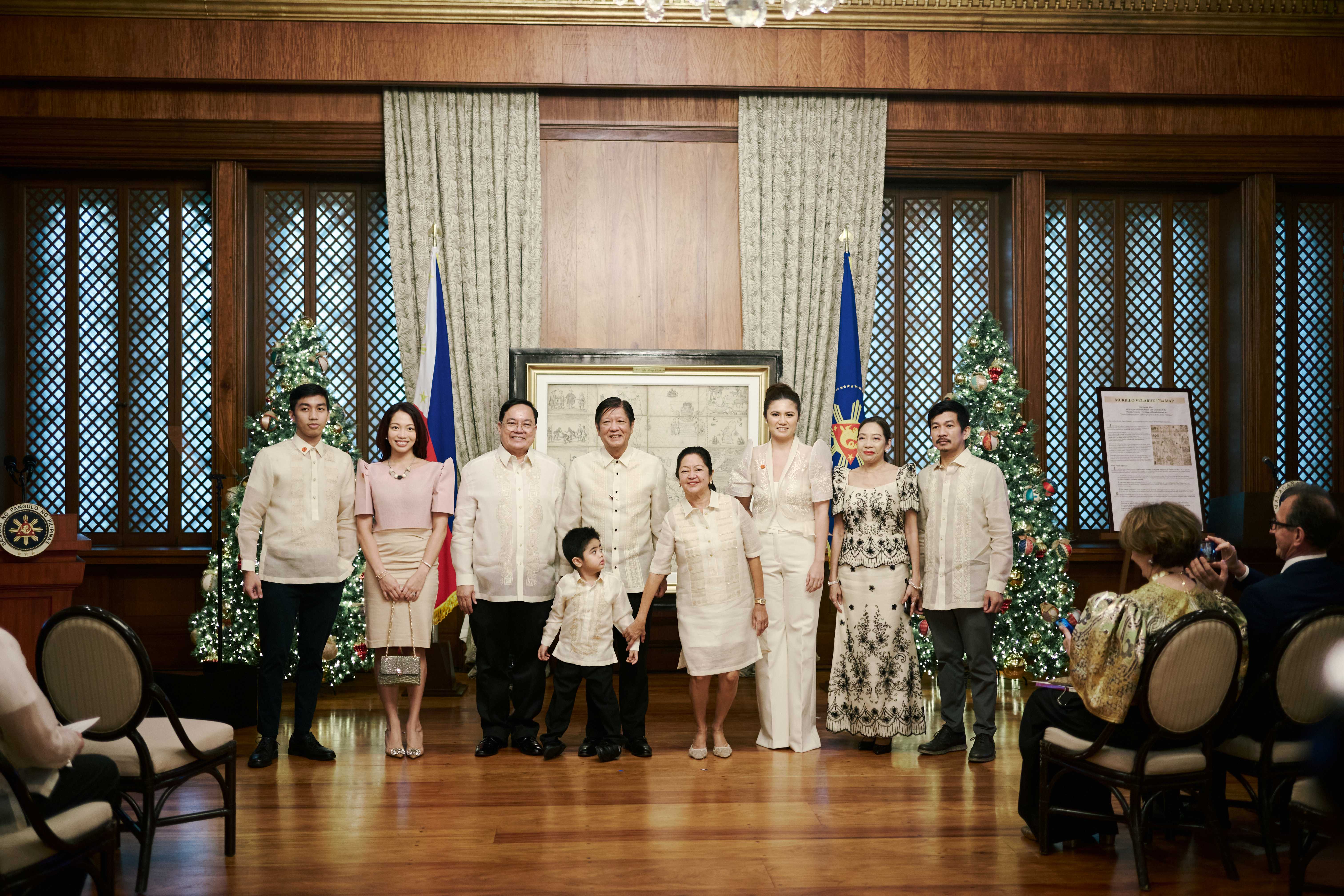
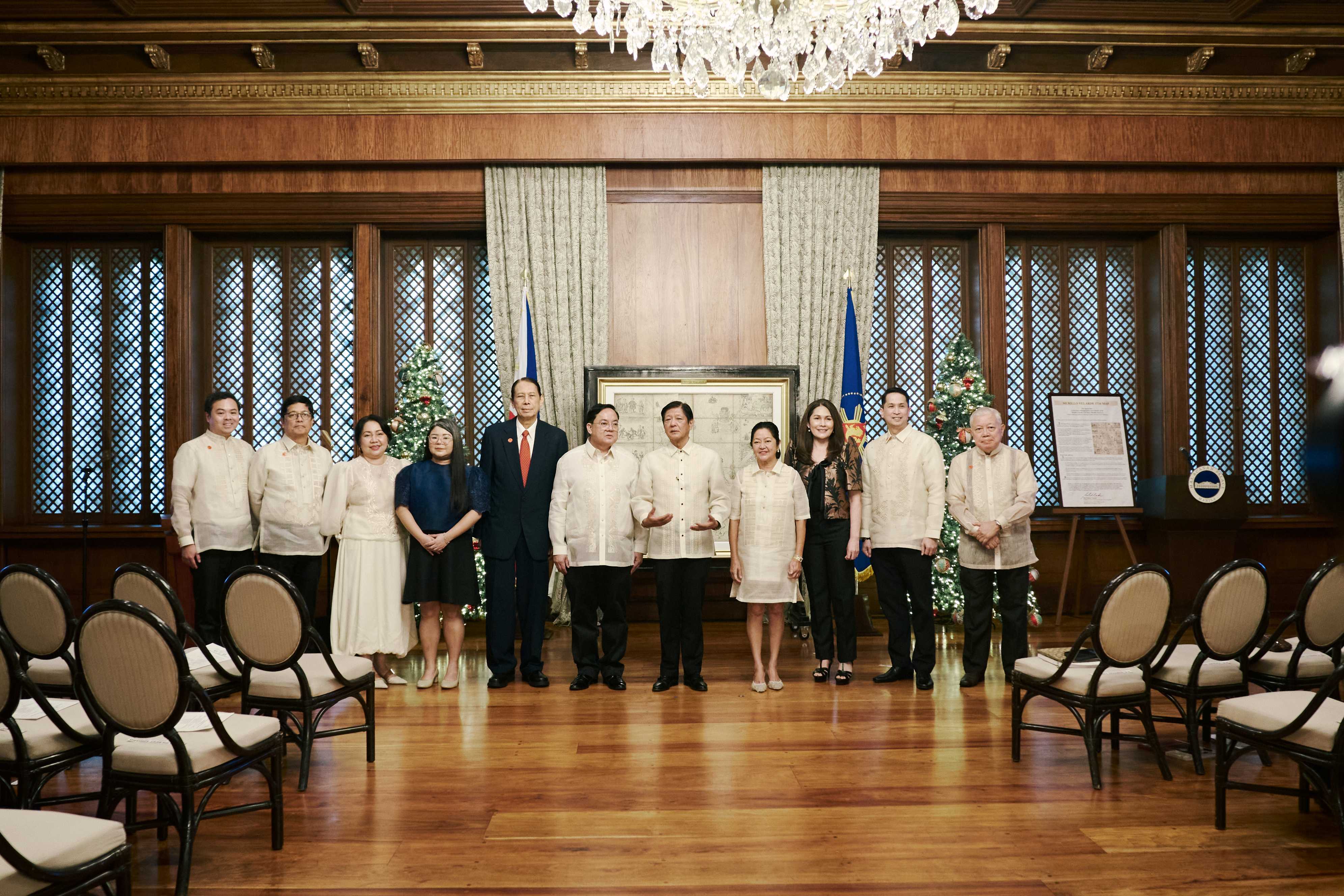
President Ferdinand R. Marcos Jr. formally receives the original Murillo Velarde 1734 Map in a turnover ceremony at Malacañan Palace on December 6, 2024. Known as the “mother of all Philippine maps,” the map was created in 1734 by Filipino cartographer Francisco Suarez and engraved by Nicolas de la Cruz Bagay, with guidance from Spanish Jesuit Father Pedro Murillo Velarde. The map is historically important, having been mentioned in the 2016 Permanent Court of Arbitration (PCA) ruling in The Hague which rejected China’s claims over the West Philippine Sea and confirmed the Philippines’ sovereignty over the disputed areas. It was purchased at a London auction in 2014 by Filipino technology entrepreneur Mel Velarde, who later donated it to the Philippine Government. Also called the Carta Hydrographica y Chorographica de las Yslas Filipinas, the Murillo Velarde 1734 Map is a lasting symbol of the country’s history.
 |
 |
 |
 |
 |
 |
 |
 |
 |
 |
 |
 |
Watch the full video here
Courtesy of Radio Television Malacañang